France- Charente-Maritime  by Romeijn de Hooghe
Scroll to zoom, click for slideshow

Frankreich-Charente-Maritime 1693

Romeijn de Hooghe

€ 1.350

Inter-Antiquariaat Mefferdt & De Jonge

  • Über Kunstwerk

    BEAUTIFUL CHART OF THE FRENCH ATLANTIC COAST "Carte Marine des Environs de l’Isle d’Oleron", copper engraving made by Romeijn de Hooghe and published by Pieter Mortier of Amsterdam in 1693. Coloured by a later hand. Size: 59 x 48 cm. Elaborately etched and engraved chart of the French Atlantic of the coast off nowaday Charente-Maritime, extending from the Gironde Estuary in the South to the mouth of the Loire and Brittany (Bretagne) in the North, centered on the Pertuis d'Antioche strait with Îsle de Ré and La Rochelle. With a history of invading English, Îsle de Ré’s main port Saint-Martin was fortified in 1681 as a component of the belt of forts and citadels built to protect the military harbour of Rochefort (on the river Charente). With large inset views of La Rochelle, the port Marans and the island of Oléron, along with a decorative cartouche and dedication coat of arms. The Gironde is subject to very strong tidal currents, still today great care is needed when navigating the estuary. The lighttower of Cordouan stands at its entrance, already in 1694. Throughout the map there is detailed navigational information, such as currents, tides, the nature of the seabed, the harbours and indications of the water depths, reefs, shoals and sandbanks. The map is from the “Cartes marines a l'usage des armées du Roy de la Grande Bretagne”, the second part of the “Neptune François”, in which charts are larger and more lavishly decorated than those of any preceding book of this kind. This magnificent work was intended more as a show piece than something to be used by pilots at sea. (According to Cor Koeman it is “the most expensive sea-atlas ever published in Amsterdam in the seventeenth century”.) This part of the atlas, which contains nine charts, constitutes "the most spectacular type of maritime cartography”. It was prepared for the use of William III who needed accurate information on the Channel coasts for his war plans against Louis XIV of France. In 1694 he sent an expedition to attack several of the ports which are illustrated in the etched vignettes that decorate these charts. What has won their lasting fame, however, is the identity of their author: the artist-engraver Romeijn de Hooghe (1645-1708). Since he undertook all stages of production himself, the charts exhibit a rare harmony of design and execution. The allegorical subjects which characterise his designs are here transformed into dramatic cartouches. Price: Euro 1.350,-

  • Über Künstler

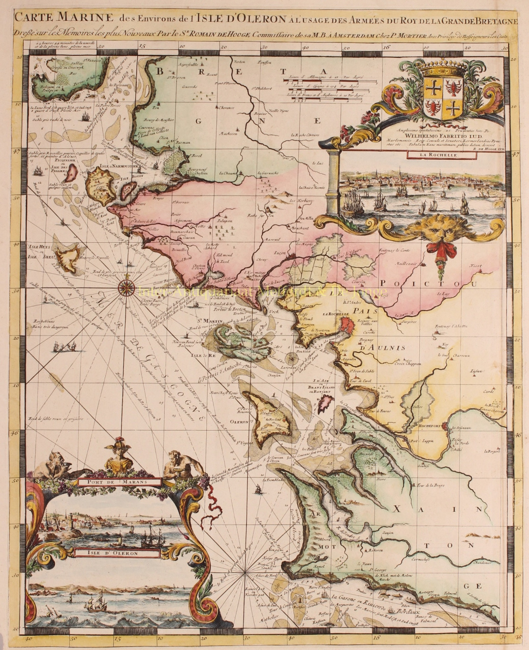
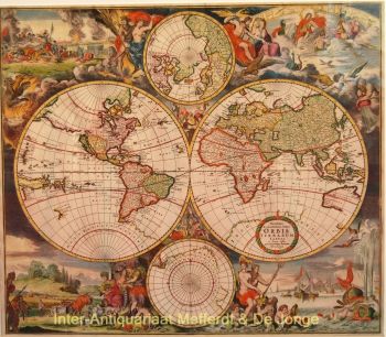
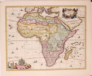
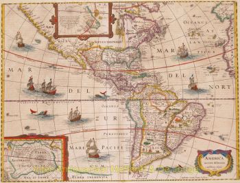
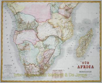
    Romeyn de Hooghe (1645, Amsterdam – 1708, Haarlem) war Radierer, Graphiker, Maler, Bildhauer, Goldschmied, Medaillengewinner, Jurist, Kartenverleger und Autor historischer Schriften.

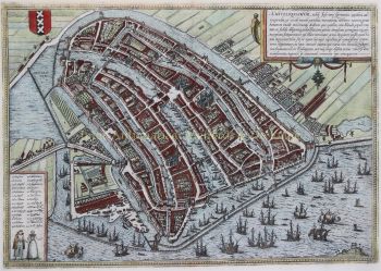
    1673 heiratete Romeyn Maria Lansman, die Tochter eines Ministers. Sie lebten in Amsterdam an der Reguliersgracht. Er illustrierte Bücher, zum Beispiel Hieroglyphica von Merkbeelden der oude volkeren (1735), ein bekanntes Emblembuch und Quellenbuch für die klassische Mythologie und ihre Ikonographie. Er illustrierte auch Bücher von Constantijn Huygens und Hugo de Groot. 1675 besaß er ein Kunstgeschäft in der Kalverstraat.

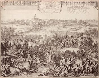
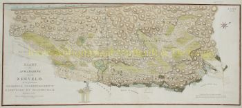
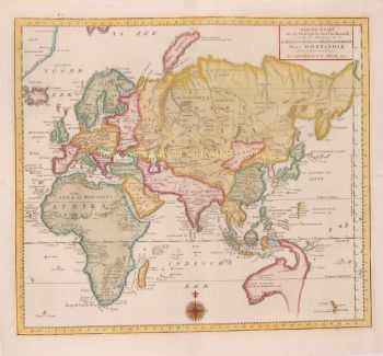
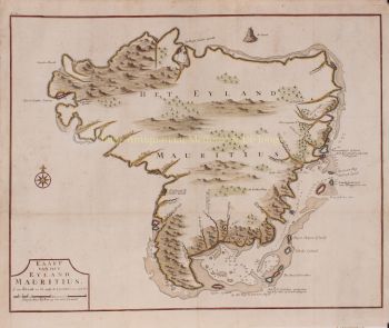
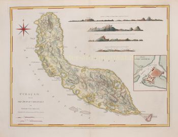
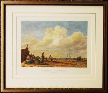
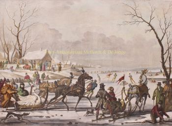
    1677 illustrierte er Coenraad van Klencks Reise nach Moskau. Er fertigte viele Radierungen an, ua das Feuerwerk auf dem Hofvijver in Den Haag. Eine Reihe von De Hooghes Radierungen wurde von einigen Leuten missbilligt, da sie beschämende Motive zeigen würden. Andererseits wurde er als großer zeichnerischer Satiriker geschätzt. De Hooghe war ein Propagandist der antifranzösischen Politik. Er malte große Tafeln für die Räume des Bürgermeisteramtes in Enkhuizen. 1690 zog er nach Haarlem, wo er an der Nieuwe Gracht 13 mit Unterricht im Musterzeichnen für Kinder begann.

Sind Sie daran interessiert, dieses Kunstwerk zu kaufen?

Artwork details